Infraworks 360 - visualisation d'un site - site visualization
Extrait d’une exploration d’un site, le logiciel Infraworks permet à partir d’une simple localisation sur une carte, de générer la topographie du site, en y montrant les routes existantes, les cours d’eau et parfois certains bâtiments, représentés en 3D. Le tout peut être transféré dans Civil 3D afin de faire une conception plus avancée, bien sûr on peut reporter cette conception dans le logiciel afin de mettre à jour la présentation.
This is an extract from a demo project I am working on using Infraworks 360, this software is part of a suite including Autocad, Civil 3D, Autocad Map 3D and others. By selecting an area on a map, much like Google earth, the software will extract base information to start a project by integrating roads, waterways, topographic data and if available buildings in 3D, you can take it to Civil 3D for design work and then export it back to update the presentation, more tools are available to do more design works and you can also integrate objects coming from other softwares, either GIS, Surfer or 3D Studio.
On peut également y intégrer des fichiers 3D Studio ou des éléments tirés de logiciels tiers comme QGIS, ArcMap, Surfer, etc.. On peut également faire une présentation en survolant le site ou en se plaçant à un endroit et suivre une trajectoire afin d’explorer le modèle.
You can also do a fly by animation to explore the area.
infra 360 - s'amuser un peu / fooling around
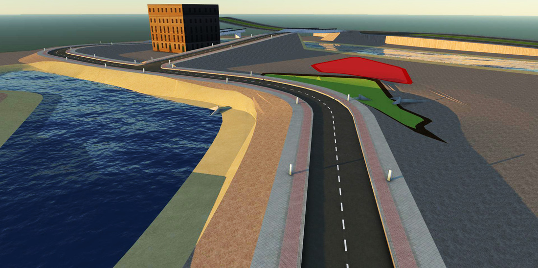
Une illustration faite dans Infra 360, très préliminaire, ce logiciel permet de faire un design ou avant-projet, qu'on peut exporter par la suite vers Civil 3D par exemple, où l'on peut faire un design plus détaillé, comme mentionné à ce point c'est plutôt sommaire, je me suis tout simplement amusé...
Le logiciel vient avec trois modules : routes, ponts et aménagements rivières, lagunes.
A ce point-ci je n'ai fait qu'insérer quelques aires de développements tout en modifiant les élévations, importé un bâtiment et placé un viaduc, qui devra être refait, comme mentionné bien sommaire à ce point-ci, éventuellement je montrerai l'exportation vers Civil 3D, le redesign et la réimportation.
A pic of a preliminary, very preliminary design made in Infra 360, this design can then be exported to Civil 3D to do a proper design, I still have to work on this, right now it was more like just playing and fooling around with it, placing a few things, Actually this version has three modules : roads, bridges and river works, You place some areas assigning it some future uses, you can import as I did a building and build some overpass or bridges, I've also placed some culverts and modified elevation of different instances, eventually I will show more detailed operations, export to Civil 3D to refine the design and take it back here for final presentation, at this point though I am more or less just playing with it...
ENCORE DES TESTS / MORE TESTING
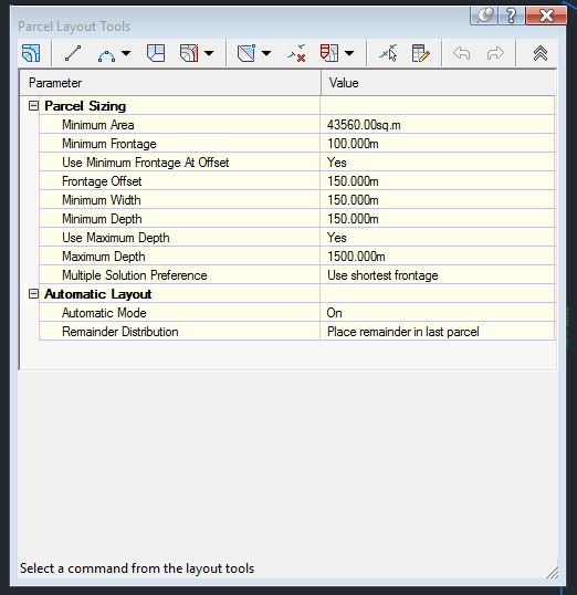
Un autre test, cette fois ci avec une saisie d'écran dans Civil 3D, ces tests sont faits en vue de créer des documents qui serviront de documentation et d'outils pédagogiques qui seront utilisés dans les formations que je dispense, cet écran tiré du logiciel Civil 3D, illustre quelques menus disponibles dans la boîte de dialogue de création de parcelles ou pour fins de lotissement, ceci étant bien sûr une infime partie de ce que l'on peut faire avec le logiciel Civil 3D
Another short test, these will be updated, annotated and included in the course content I am offering, here the screen showed applied to some functions used for the creation of parcels to be developed, one small aspect of the numerous functions included in Civil 3D
Another short test, these will be updated, annotated and included in the course content I am offering, here the screen showed applied to some functions used for the creation of parcels to be developed, one small aspect of the numerous functions included in Civil 3D
Il y aura aussi des écrans de saisie qui viendront illustrer certains concepts, le cours autocad standard est plus avancé, celui-ci est en développement. The will also be printscreens to illustrate some additional concepts, my Autocad standard cours is well advanced, this one is more in a development stage.
AUTOCAD CIVIL 3D - Informations et exemples
Éventuellement je mettrai du contenu dédié à chacun des logiciels traités dans les pages spécialisés, soit de l'information technique, des exemples et démonstrations, à suivre...
Eventually these specialized page will host information relevant to each page topic, either technical informations, examples, or other subjects. Coming soon....
Eventually these specialized page will host information relevant to each page topic, either technical informations, examples, or other subjects. Coming soon....
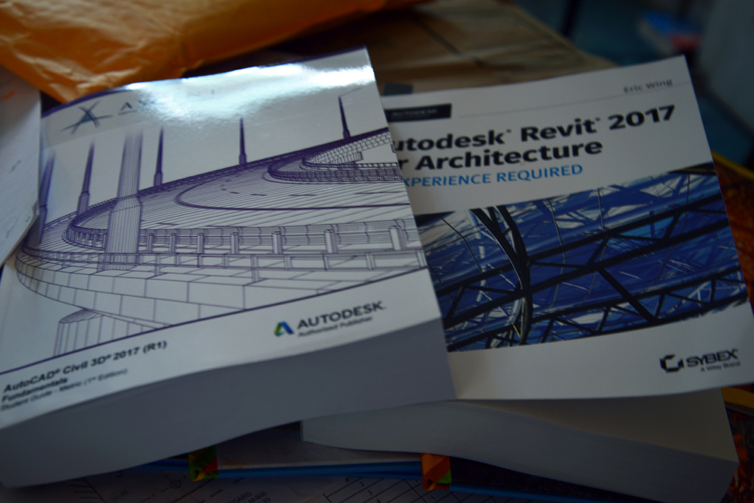
Un commentaire sur les documents d'apprentissage : en ligne versus papier / A post, more a commentary on learning a software : paper or online? lien/link


